What do developers need to know about the future of autonomous navigation?
Point One Navigation has announced a webinar for professionals involved in autonomous vehicle development, mapping, and vision applications.
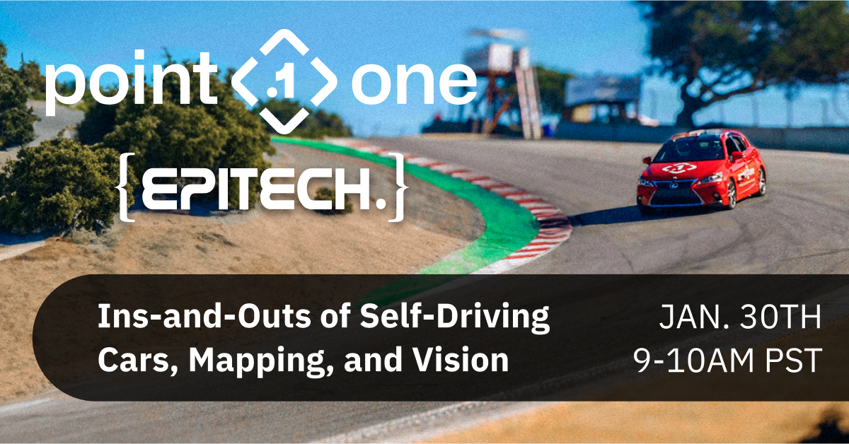
Interested parties are invited to register for this webinar at no cost. It is scheduled for January 30th at 9am PST. Please register at Point One Navigation's website.
This webinar is part of the Epitech Innovation Days event (FR) and features Lucas McKenna, Director of Engineering at Point One Navigation. He will present a comprehensive and engaging session on the latest advancements in precise positioning and navigation technologies, as well as practical solutions for real-world scenarios.
Webinar participants will gain insights into the application of Precision Navigation Technology in autonomous racing events like the Indy Autonomous Challenge at CES and the Self-Racing Cars competition. The session will focus on critical aspects for autonomous vehicle developers, such as localisation with RTK corrections and Point One Navigation's Fusion Engine. This represents the forefront in Sensor Fusion techniques for navigation, especially in GPS-challenged environments.
The webinar will also delve into the Application of Precision Globally Referenced Location, which significantly enhances the process of mapping with LIDAR sensors. Additionally, it will cover aspects of Visual Mapping and Positioning using cameras on a city-wide scale.
A key feature of the webinar will be Point One's Polaris, an RTK corrections network that enables centimetre-level accurate GNSS positioning. Polaris achieves accuracy from 10 to 1cm, even in challenging environments like urban canyons and areas with occluded sky-views. The Polaris network effectively addresses position uncertainty issues common in standard GNSS systems, using compact base stations to enhance accuracy.
Point One's FusionEngine software further integrates inertial measurement, wheel odometry, and additional sensors to maintain precision even without satellite signals.
The Polaris network, combined with the FusionEngine software, offers cost-effective precision location services, ideal for autonomy and robotics applications. Polaris supports all major GNSS constellations and boasts a global network of base stations covering the United States, Europe, New Zealand, South Korea, and parts of Canada and Australia. The network is compatible with all modern navigation signals, ensuring maximum performance with various devices.

